Flood Zones Explained in Pensacola
Flood zones are one of the most important — and most misunderstood — factors in buying a home in Pensacola. Get it right and you avoid a financial surprise that catches too many buyers off guard. Get it wrong and you could be looking at mandatory flood insurance costs of $1,500–$3,500+/year that weren't in your budget, or worse, a home that floods and discovers it wasn't adequately covered.
This post explains exactly how FEMA flood zones work in Pensacola, what each designation means for insurance and risk, how to look up any property, and what to do with that information when you're evaluating a home.
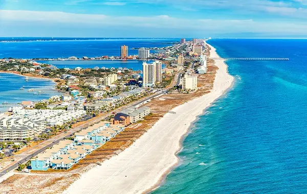
Why Flood Zones Matter More in Pensacola Than Most Cities
Pensacola's geography creates meaningful flood exposure across a wide area — not just properties directly on the water. Several factors compound the risk:
Flat topography: The coastal plain around Pensacola has very little elevation change over large areas. Water that can't drain quickly stays put.
High water table: The water table throughout much of the metro is close to the surface, meaning even moderate rainfall can saturate soils quickly and produce standing water.
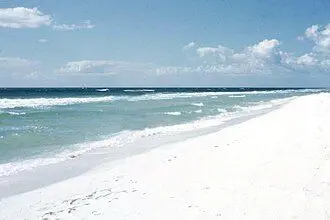
Hurricane storm surge: The Gulf of Mexico can push enormous volumes of water inland during hurricane events. Pensacola has experienced catastrophic storm surge flooding from Ivan (2004) and Sally (2020) — both of which flooded properties miles from the coastline.
Tidal influence: Escambia Bay, Pensacola Bay, and the interconnected waterway system experience tidal fluctuation that affects flood risk in bayfront and bay-adjacent properties.
Summer rainfall intensity: Pensacola receives approximately 65 inches of rain per year — one of the highest totals in the country — much of it falling as intense summer thunderstorms that can overwhelm drainage systems locally even without a named storm.
The result: approximately 23% of Pensacola properties have meaningful flood risk over a 30-year mortgage — far more than "just the waterfront homes."
FEMA Flood Zone Designations: What Each Means
FEMA's National Flood Insurance Program (NFIP) assigns flood zone designations to every property in the country. In Pensacola, you'll encounter several zone types:
Zone X (Minimal Risk)
What it means: The property is outside the 500-year floodplain. FEMA considers this the lowest risk category. No mandatory flood insurance requirement from your mortgage lender.
Two subcategories matter:
- Zone X (unshaded): Outside the 500-year floodplain. Lowest risk.
- Zone X (shaded): Within the 500-year floodplain but outside the 100-year floodplain. Moderate risk — lower than A or V zones but not negligible.
What buyers should know: Zone X does not mean zero flood risk. Approximately 25–30% of all NFIP flood claims come from properties in Zone X. Optional flood insurance for Zone X properties runs $400–$900/year and is worth considering for any Pensacola property in lower-lying areas, near drainage features, or in areas with known local flooding history.
Zone AE (High Risk — 100-Year Floodplain)
What it means: The property has a 1% annual chance of flooding (which translates to a 26% chance over a 30-year mortgage period). Base flood elevations (BFE) have been established by FEMA for Zone AE properties.
Mandatory flood insurance: Yes — required by virtually all mortgage lenders.
What buyers should know:
- The 1% annual chance sounds small but isn't — it means a significant probability of flooding over a typical ownership period
- The BFE tells you the elevation to which floodwaters are expected to rise in a 100-year event
- Properties elevated above BFE have lower flood risk and lower flood insurance premiums
- Properties at or below BFE have higher risk and higher premiums
- An elevation certificate documents the property's elevation relative to BFE and is critical for accurate insurance pricing
Zone AE is the most common high-risk designation in Pensacola's inland and bay-adjacent neighborhoods. Many properties that look completely "normal" — ordinary suburban streets, no visible water nearby — are in Zone AE.
Zone AO (Sheet Flow Areas)
What it means: Areas where flood waters flow overland (sheet flow) rather than rising from a defined channel. Typically shallow flooding of 1–3 feet. Common in areas near natural drainage paths.
Mandatory flood insurance: Yes.
What buyers should know: Zone AO properties often experience flooding from intense local rainfall rather than from storm surge or named storms. The flooding events can be frequent and the cumulative damage significant even if individual events are modest.
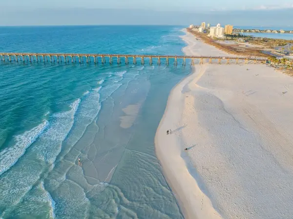
Zone VE (Coastal High Hazard)
What it means: Coastal areas subject to wave action in addition to flooding. The "V" stands for velocity — these zones experience not just water depth but destructive wave force. This is the highest-risk FEMA designation.
Mandatory flood insurance: Yes — and at the highest rates.
What buyers should know:
- Zone VE is primarily found on or very near the beachfront — Pensacola Beach, Gulf-front Perdido Key, and other direct coastal properties
- Construction requirements in Zone VE are significantly more stringent — homes typically must be elevated on pilings above the wave action zone
- Flood insurance in Zone VE is the most expensive category — premiums can reach $5,000–$10,000+/year
- In a major hurricane, Zone VE properties face the most severe physical risk from wave action, which can cause structural damage beyond what flood insurance covers
Zone A (Approximate)
What it means: High-risk flood area where FEMA has determined a 1% annual chance of flooding exists but has not yet established specific base flood elevations. Less precisely mapped than Zone AE.
Mandatory flood insurance: Yes.
What buyers should know: Zone A properties may eventually be remapped to Zone AE (with BFEs established) or reclassified entirely as mapping improves. The imprecision cuts both ways — some Zone A properties have lower actual risk than their designation suggests, others higher.
How to Look Up Any Property's Flood Zone
This is the most important practical step in flood zone research, and it takes about two minutes.
Step 1: Go to the FEMA Flood Map Service Center: msc.fema.gov
Step 2: Enter the property address in the search field.
Step 3: The map will show the property's location and flood zone designation. Zoom in to confirm the specific parcel's zone.
Step 4: Note the flood zone, the panel number and date (how recent the map is), and whether the property is in a Zone with Base Flood Elevations established.
Step 5: Cross-reference with First Street Foundation's Flood Factor tool (floodfactor.com) for a supplemental risk assessment that uses more recent climate modeling than FEMA's maps.
Important limitations of FEMA maps:
- Many FEMA flood maps are outdated — some haven't been updated in 10–20 years
- Climate change and increased development have altered flood patterns in ways older maps don't capture
- FEMA maps show regulatory flood zones, not all potential flood areas
- Properties just outside a flood zone boundary can still flood — the line on a map is an administrative boundary, not a physical barrier
Flood Zone and Insurance Cost: The Direct Connection
Your flood zone designation is the primary driver of flood insurance cost. Here's a practical breakdown:
NFIP Premiums by Zone (Approximate 2026 Rates)
| Zone | Annual NFIP Premium Range | Notes |
|---|---|---|
| Zone X (unshaded) | Not required; optional $400–$900 | Preferred rate policy available |
| Zone X (shaded) | Optional $600–$1,200 | Slightly elevated risk |
| Zone AE (at or below BFE) | $1,500 – $3,500+ | Higher risk, higher cost |
| Zone AE (above BFE — 1 ft) | $900 – $2,000 | Elevation reduces cost |
| Zone AE (above BFE — 2+ ft) | $600 – $1,400 | Significant reduction |
| Zone VE | $3,000 – $8,000+ | Highest risk designation |
The elevation certificate leverage: For Zone AE properties, the elevation relative to Base Flood Elevation (BFE) is the single biggest driver of premium variation. A property 2 feet above BFE can pay half or less what a property at BFE pays for equivalent coverage. Always get the elevation certificate for any Zone AE property — if one doesn't exist, getting one ($300–$600) is almost always worth the cost in first-year insurance savings.
Private Flood Insurance Options
Since 2019, private flood insurance has become a more meaningful alternative to NFIP in Florida. Private policies sometimes offer:
- Lower premiums than NFIP for certain risk profiles
- Higher coverage limits (NFIP caps building coverage at $250,000)
- Replacement cost value coverage (NFIP typically pays actual cash value)
- Shorter waiting periods
For properties in Zone AE or VE, always get quotes from both NFIP and private carriers before closing. The savings can be $500–$1,500/year for comparable coverage.
Flood Zone Map Changes: LOMAs and LOMRs
FEMA flood maps change — through updates to the underlying maps and through individual property determinations. Two important designations:
LOMA (Letter of Map Amendment): If a property is shown on a FEMA flood map as being in a high-risk zone but the land is actually at or above the BFE, the owner can apply for a LOMA to have the property removed from the mandatory flood insurance requirement. Successfully obtaining a LOMA eliminates the mandatory flood insurance requirement and can save $1,000–$3,000/year.
For properties where the structure was built at or above the BFE but the FEMA map shows them in Zone AE, a surveyor-certified elevation certificate is the starting point for a LOMA application. This process takes 60–90 days and costs $500–$1,500 in surveying and application fees — frequently worth it for the ongoing savings.
LOMR (Letter of Map Revision): Community-wide map changes that affect multiple properties, typically following major infrastructure improvements like new levees, drainage projects, or updated hydrological studies.
The Sally Lesson: Understanding Real Storm Surge Risk
Hurricane Sally (September 2020) was a Category 2 storm that made landfall near Gulf Shores, Alabama — just west of Pensacola. Sally's storm surge flooded areas throughout the Pensacola metro, including many properties that hadn't flooded in recent memory and some that were not in designated flood zones.
The lesson: FEMA flood zones represent statistical risk based on historical data and modeled scenarios. They don't guarantee that a property won't flood in a specific storm event. The storm surge from Sally pushed water into neighborhoods that residents had never considered flood-prone.
For buyers in Pensacola, understanding this means:
- Even Zone X properties near the water have real storm surge exposure
- Flood insurance on Zone X properties near the bay, bayous, or coastal areas is a meaningful risk management tool — not just a regulatory requirement
- Emergency fund reserves for storm damage that exceeds insurance coverage is part of responsible Gulf Coast homeownership
Neighborhood-Level Flood Zone Patterns in Pensacola
Understanding which areas of the metro tend to have what flood zone designations helps buyers narrow their search:
Generally lower flood risk (Zone X predominant):
- Elevated parts of established Pensacola neighborhoods (higher ground in East Hill, North Hill)
- Pace and Milton inland areas
- Elevated portions of Gulf Breeze not near the water's edge
- Northern Escambia County (Cantonment, elevated portions)
Mixed zones — research by specific address:
- Gulf Breeze (varies significantly by proximity to bay and interior elevations)
- East Pensacola Heights (some elevated, some low-lying near the bay)
- Beulah area (some low-lying sections near creek systems)
- Navarre mainland (varies by proximity to Santa Rosa Sound)
Higher flood risk areas:
- Anything directly on or very close to Escambia Bay, Pensacola Bay, or their tributaries
- Low-lying areas near Bayou Chico, Bayou Texar, and other bayous
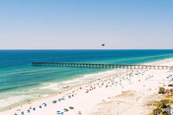
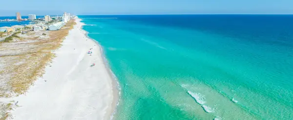
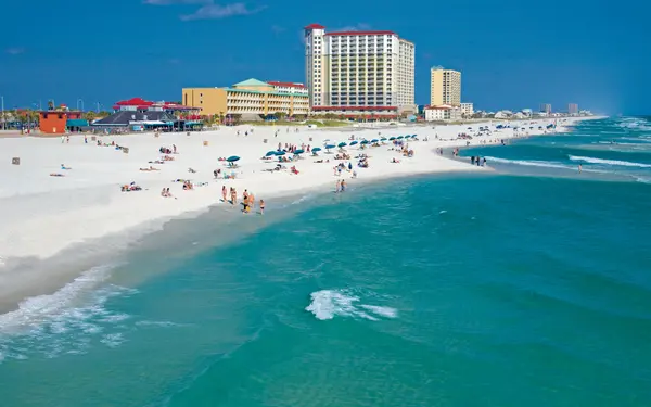
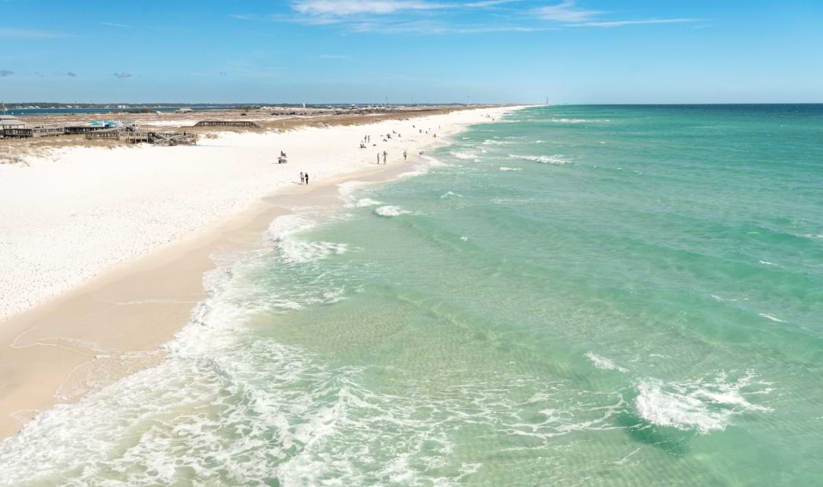
- Pensacola Beach (Zone VE near the Gulf, Zone AE elsewhere on the island)
- Perdido Key (coastal areas in Zone VE; interior in Zone AE)
- Areas near the Escambia River system in the northern county
What to Do When You Find a Flood Zone Property You Love
If you fall in love with a property in Zone AE or VE, here's the framework:
Step 1: Get the elevation certificate. If the seller has one, review it. If they don't, have a licensed land surveyor prepare one during your inspection period. Cost: $300–$600. This document is essential for accurate insurance pricing.
Step 2: Get actual flood insurance quotes. Both NFIP and private carriers, using the specific property address and the elevation certificate data. Real quotes, not estimates. This is the only way to know your actual annual flood insurance cost.
Step 3: Factor flood insurance into your monthly payment calculation. Add the annual flood insurance premium to your PITI calculation. If the total payment still works for your budget, proceed. If it doesn't, you have information you need before committing.
Step 4: Investigate the property's flood history. FEMA's flood claim history can sometimes be researched through the title search. Ask the seller to disclose any prior flood insurance claims. Ask neighbors. Properties with prior flood claims have valuable risk information embedded in their history.
Step 5: Consider flood risk in your negotiating position. A Zone AE property with high flood insurance costs is worth less than a comparable Zone X property — the market may not always price this accurately. Your knowledge of the insurance cost differential gives you a legitimate negotiating basis.
The Bottom Line on Pensacola Flood Zones
Flood zone research is not optional for Pensacola buyers. It's a fundamental due diligence step that should happen before you make an offer on any property — not during the inspection period when you're already emotionally and financially committed.
The two-minute FEMA map lookup and a real flood insurance quote are the minimum. For Zone AE properties, an elevation certificate is worth every penny. For any property near water — even if it shows Zone X — optional flood insurance is worth serious consideration given Pensacola's storm surge history.
The buyers who do this research before they fall in love with a property make better decisions. The buyers who discover flood zone reality at the closing table sometimes close anyway on homes whose true carrying costs they didn't fully understand. Don't be the second kind of buyer.
Want Help Understanding the Flood Zone Picture on a Specific Property?
Sean and Shaunda Killingsworth research flood zones, elevation certificates, and insurance implications on every property we work on. It's part of what we do — because we've seen what happens when buyers find out too late. Let's make sure you have the full picture before you make any decisions.
Sean & Shaunda Killingsworth Engel & Völkers Pensacola 190 South Jefferson Street, Pensacola, FL 32502 📞 +1 850-332-2457 ✉️ killingsworthhomes@gmail.com 🌐 movingtopensacolabeach.com
If you're relocating to Northwest Florida, let's talk.
Categories
Recent Posts